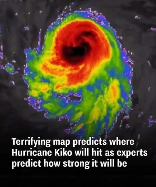
Hurricane Kiko is projected to potentially make landfall in Hawaii on
September 9, prompting concern among meteorologists and emergency officials.
Originally classified as a Category 4 hurricane, Kiko was strengthening rapidly, with experts warning it could reach Category 5 status.
However, recent reports confirm that the storm has weakened slightly to a Category 3, with maximum sustained winds of 115 mph.
Despite the downgrade, the storm remains dangerous. AccuWeather and the
National Hurricane Center have released forecast maps showing Kiko tracking westward across the Pacific and possibly impacting the Hawaiian Islands by Tuesday afternoon.
Experts say that even if it weakens further, Kiko could still bring significant rain, wind, and flooding to the region.
Meteorologists warn of heavy rainfall, flash flooding, and landslides, especially in mountainous or low-lying areas.
The National Weather Service in Honolulu cautioned that statewide flash flooding is a real possibility, and at a minimum, increased rainfall is expected through much of the upcoming week. The exact impact will depend on whether Kiko veers north or south, or continues to weaken before landfall.
Historically, Hawaii rarely experiences direct hurricane hits. According to the NOAA, only two hurricanes have made landfall in Hawaii since 1950, making any possible landfall by Kiko a significant and rare event. Residents are being urged to take early precautions due to the uncertainty surrounding the storm’s final path and strength.
Emergency management officials are encouraging the public to prepare now by gathering supplies, knowing evacuation routes, and signing up for emergency alerts.
read more .

